
Click to download now, finish the installation quickly, and directly unlock the all-round experience
Screenshots
Click to download now, finish the installation quickly, and directly unlock the all-round experience
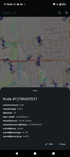
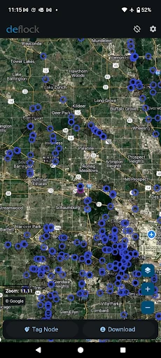
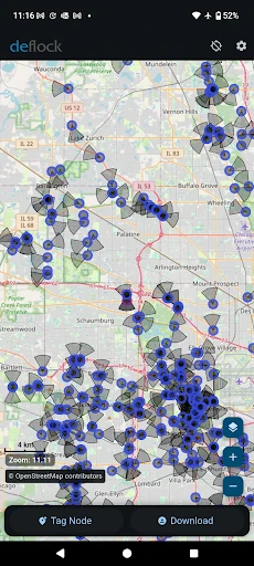
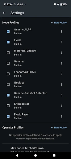
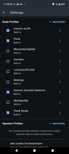
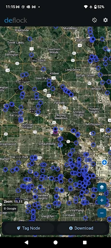
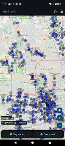
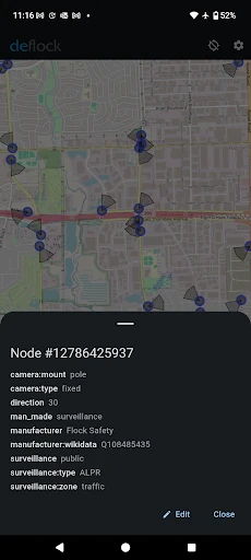
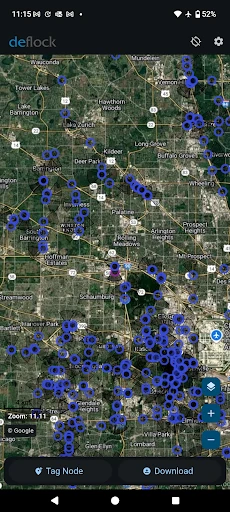
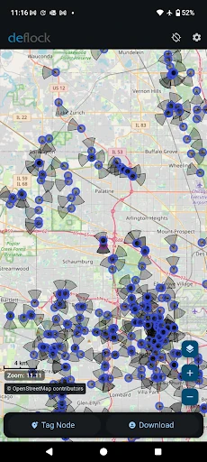
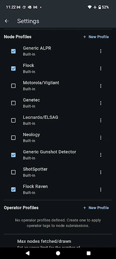
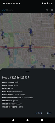
DeFlock.me is a Maps & Navigation app for people who want to see where automated license plate readers, gunshot detectors and AI cameras are located. Instead of providing turn-by-turn directions, it puts surveillance equipment on a map so users can inspect what may be operating in a particular area. It is best suited to privacy advocates, local researchers and residents who want a clearer view of public monitoring systems.
The app uses OpenStreetMap for its geographic base and relies on community contributions to expand and update its listings. Users can report newly observed devices, helping add local information that may not appear in conventional mapping tools. The usefulness of the map will therefore depend on how much reporting has taken place in a given city or region.
DeFlock.me makes sense for users concerned about ALPR networks and other forms of automated monitoring. It is also relevant to journalists, civil-liberties groups and community organisers collecting information about surveillance in their area. It is not a general replacement for a navigation app: its purpose is awareness and reporting, not route planning.
DeFlock.me is published by TechBS and has 10,000+ installs. Its current rating is 4.65 out of 5 from 94 ratings, indicating a positive response from a relatively small user base. The app’s focused purpose, open mapping foundation and community-led data model make it more useful for investigation than for everyday directions.